
THE URBAN INTELLIGENCE OPERATING SYSTEM
Every signal.
One city.
One picture.
ONFIX is the Urban Intelligence Operating System built to help cities see problems earlier, coordinate across agencies, and act before isolated incidents become citywide crises. From traffic and emergency response to energy, EV infrastructure, public safety and municipal finance, ONFIX connects fragmented operational data into a unified picture of the city. Monitor conditions. Anticipate consequences. Coordinate response. Measure outcomes.
This page reads in five layers: why ONFIX matters, what it can do, how it works, why it can be trusted, and how to engage.
01 / The problem
Cities don't fail in one place.
They fail in eleven — at once.
A vandalised transformer darkens a ward. Ambulances reroute into the resulting congestion. A water main breaks under the same excavation. Waste collection shifts to a priority corridor and skips four estates. Citizens flood the call centre. Revenue slips. Nobody connects them, so nobody fixes them.
Congestion. Emergency response delays. Broken mains. Floods. Burglaries. Air pollution. Ambulance routing failures. Informal transport surges.
These are not isolated problems. They are symptoms of a city operating without a unified intelligence layer. ONFIX is that layer.
02b / Critical infrastructure intelligence
Every asset. Every dependency. One cascade model.
ONFIX maps the relationships between urban systems to identify how failures propagate. A failing transformer affects traffic, charging infrastructure, hospitals and communications. ONFIX surfaces that chain of consequence before it spreads.
Asset Intelligence
Every critical asset — substations, transformers, water treatment, hospitals, bridges, data centres, charging hubs — carries a full intelligence profile: location, owner, function, condition, dependencies, sensor state, maintenance history.
Dependency Mapping
Power → transport → communications → healthcare → emergency response → commerce → citizens. ONFIX visualises cross-domain dependencies and flags single points of failure.
Failure Cascade Analysis
When an asset fails, ONFIX models the cascading impact: affected population, disrupted services, available alternatives, and the optimal intervention to break the chain.
02 / What ONFIX is
One platform.
Fifteen operating systems.
Zero blind spots.
ONFIX connects fragmented city systems into a unified intelligence layer. It ingests every signal a city produces — vehicle counts, sensor telemetry, camera and ANPR feeds, hospital and CAD records, asset registries, weather and satellite observations, payment and revenue data, field reports — and reveals the relationships between them so decision-makers can understand dependencies, anticipate consequences, coordinate action and track results.
03 / Modules
What you get.
15 modules across eight capability domains. One shared operational model.
Mobility
- Traffic Intelligence
- BRT Transit
- Smart Parking
- EV Infrastructure Intelligence
- Drone & Aerial
Response
- HealthOS
- Emergency & Medical Federation
- Fire & Disaster Command
- City EOC
City Systems
- Waste Operations
- LUMEN Lighting OS
- Water & Sewerage
- Grid & Energy Intelligence
- Asset Management
Critical Infrastructure
- Critical Asset Protection
- Dependency Mapping
- Failure Cascade Analysis
Safety & Order
- SecurityOS
- Metropolitan Policing
- IncidentOS
- Anomaly Intelligence
- Compliance
Resilience
- Flood Resilience
- Disaster Monitoring
- Climate & Environment
- ESG
Economy
- Revenue Operations
- Economic Intelligence
- Social Equity
Intelligence
- AI Copilots
- Digital Twins & Simulation
- Multi-Agency Command
- Sovereignty
03b / Module catalogue
Fifteen modules across eight capability domains. Detailed.
| Module | Command surfaces | Map layers | Core engines |
|---|---|---|---|
| Traffic Intelligence | 12 | 11 | corridor analytics, congestion prediction, incident orchestration, dynamic optimisation |
| BRT Transit | 9 | 3 | fleet, station, demand, security, carbon, economic metrics |
| Smart Parking | 7 | 4 | pressure, demand, sensors, twin, payments |
| EV Infrastructure Intelligence | 8 | 5 | charging demand forecasting, grid-aware allocation, utilisation, health, planning |
| Drone & Aerial | 4 | 6 | RAVEN deployment, logistics, aerial verification |
| HealthOS | 44 | 21 | capacity, supply forecasting, triage, mass casualty, resilience |
| Emergency & Medical Federation | integrated | 14 | dispatch, load balancing, pre-emption, surge |
| Fire & Disaster Command | 6 | 11 | fleet, spread prediction, hazmat, after-action |
| City EOC | 8 | 8 | resource command, incident command, city change feed |
| Waste Operations | 25 | 5 | bin telemetry, truck AVL, prediction, MRF, landfill, twin |
| LUMEN Lighting OS | 13 | 2 | clusters, dark zones, energy, maintenance, safety |
| Water & Sewerage | 3 | 4 | mains, treatment, reservoirs, quality, high-risk assets |
| Grid & Energy Intelligence | 5 | 4 | grid status, load anomalies, smart grids, renewables, EV-grid coordination |
| Asset Management | 3 | 6 | universal asset passport, critical registry, IoT health |
| Critical Asset Protection | 6 | 7 | asset intelligence, dependency mapping, critical registry, failure risk |
| Dependency Mapping | 4 | — | cross-domain dependency, cascade path, exposed population |
| Failure Cascade Analysis | 3 | — | consequence modeling, cascading failure path, impact assessment |
| SecurityOS | 9 | 12 | threat intel, cameras, protection, authority routing |
| Metropolitan Policing | 1 + 19 | 19 | command, dispatch, fleet, evidence, analytics |
| IncidentOS | 4 | 5 | lifecycle, responder, hospital and traffic impact |
| Anomaly Intelligence | 6 | — | acoustic, behavioural, environmental, cyber |
| Flood Resilience | 20 | 12 | hotspots, drainage twin, extent, intervention, cost of inaction |
| Climate & Environment | 10 | 8 | risk zones, severe weather, heat, air, noise, water |
| Economic Intelligence | 30 | 6 | registry, tariff, revenue gap, forecast, reconciliation, equity |
| Revenue Operations | 5 | 3 | payment intelligence, tariff engine, reconciliation |
Modules share command surfaces by design — the same incident is visible from the EOC, the hospital, the traffic desk and the revenue desk simultaneously.
03c / Capability inventory
The full operating surface, enumerated.
Verified against platform configuration. 15 operating modules across eight capability domains. One shared operational model.
Surface counts
Modules by panel count
| # | Module | Panels | Domain |
|---|---|---|---|
| 1 | Core / Shell | 4 | Intelligence |
| 2 | Traffic Intelligence | 10 | Mobility |
| 3 | EV Infrastructure Intelligence | 5 | Mobility |
| 4 | Grid & Energy Intelligence | 4 | City Systems |
| 5 | Waste OS | 25 | City Systems |
| 6 | LUMEN Lighting OS | 13 | City Systems |
| 7 | Safety, Fire & Anomaly | 42 | Safety & Order |
| 8 | Emergency & Medical | 42 | Response |
| 9 | City EOC & Simulation | 7 | Response |
| 10 | Critical Asset Protection | 10 | Critical Infrastructure |
| 11 | Dependency Mapping | 7 | Critical Infrastructure |
| 12 | Failure Cascade Analysis | 5 | Critical Infrastructure |
| 13 | Compliance & Governance | 6 | Intelligence |
| 14 | IncidentOS | 4 | Safety & Order |
| 15 | SecurityOS | 6 | Safety & Order |
| 16 | Economic Intelligence | 27 | Economy |
| 17 | Revenue Operations | 3 | Economy |
| Global context overlay | Global | ||
| Total assigned | 217 | — | |
| Total | 273 | — | |
Five panels appear in two module categories by design — the same capability is reachable from more than one desk.
04a / Orchestration engines
The fusion layer between raw signal and operational meaning.
49 orchestration engines, grouped by function. These are the fusion layer between raw signal and operational meaning.
Reasoning & correlation
Prediction & simulation
Governance & trust
Domain intelligence
Presentation & orchestration
Wired domain modules
Sovereignty
04 / Map layers & globe
190 layer definitions. 121 in the urban build.
The map is the hero surface. 121 map layers are declared available in the urban build, 96 are reachable in the picker, and 190 definitions exist in the registry. Each texture below is a basemap option for the dual map engine.
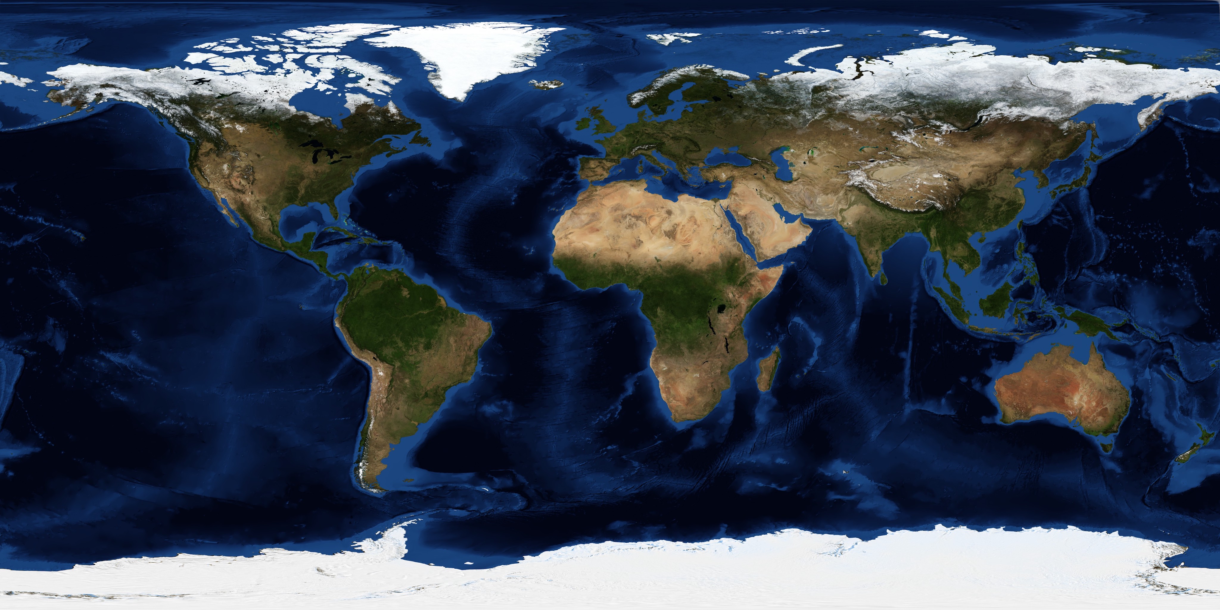
Blue marble
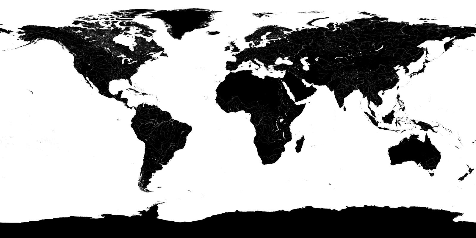
Water layer

Night sky

Topo-bathy
04b / Module illustrations
One image per module.
Each module has an illustrative image. They are decorative beside the module heading and carry alt="" where the heading already conveys the module name; exceptions are listed in the accessibility notes.

Traffic Intelligence

BRT Transit

BRT EV Bus
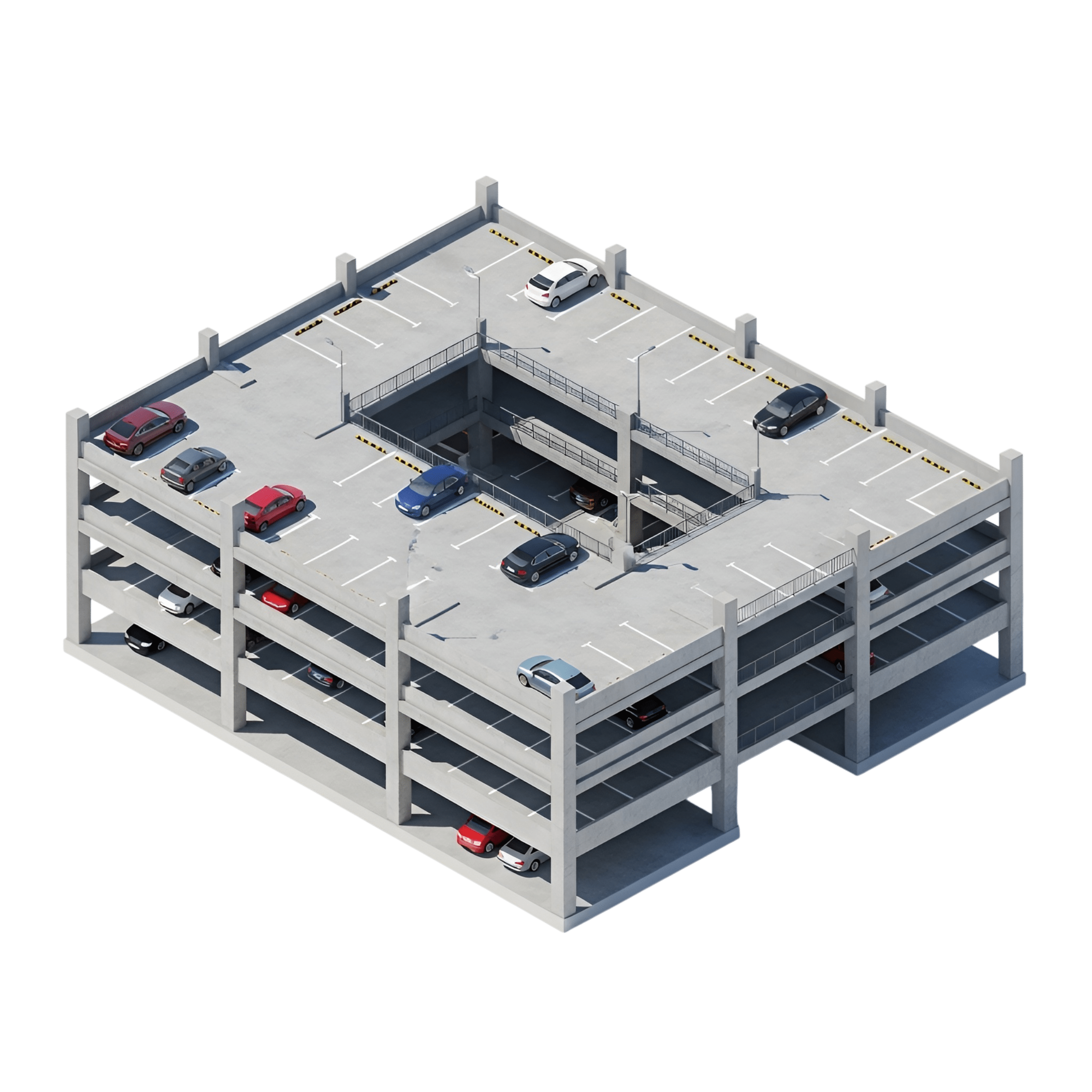
Smart Parking

Drone - Logistic

Drone - Docking
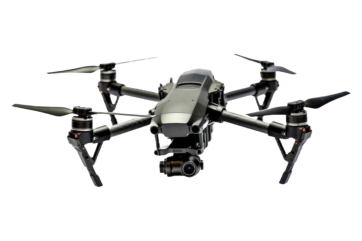
Drone - Emergency Response

Drone - Rapid Response

Drone - Long-range
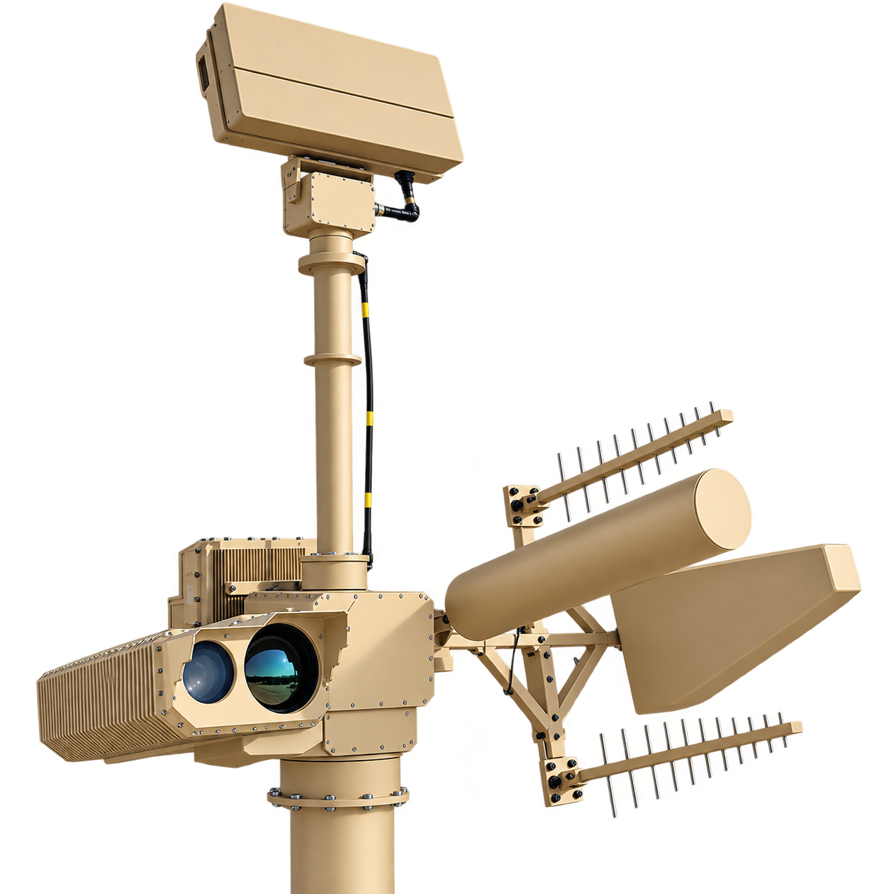
Counter-UAS System

HealthOS

Emergency Response

Air Ambulance

Emergency Resources

Water Tanker

Fire Station

Fire & Disaster

Aerial Ladder

Rescue Vehicle
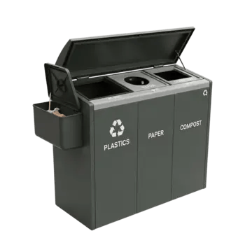
Waste Operations

Waste Collection Truck

LUMEN Lighting OS

Water & Sewerage

Sewer Intersection
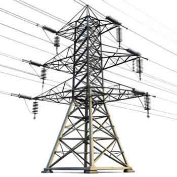
Power & Energy

EV Charging Station
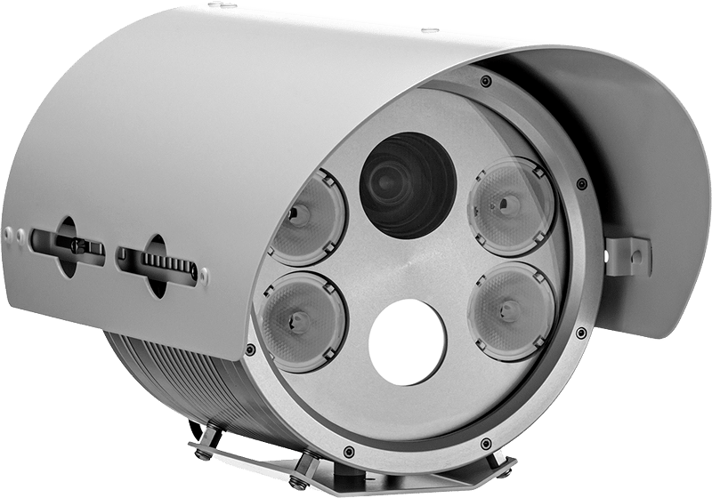
SecurityOS

Metropolitan Policing
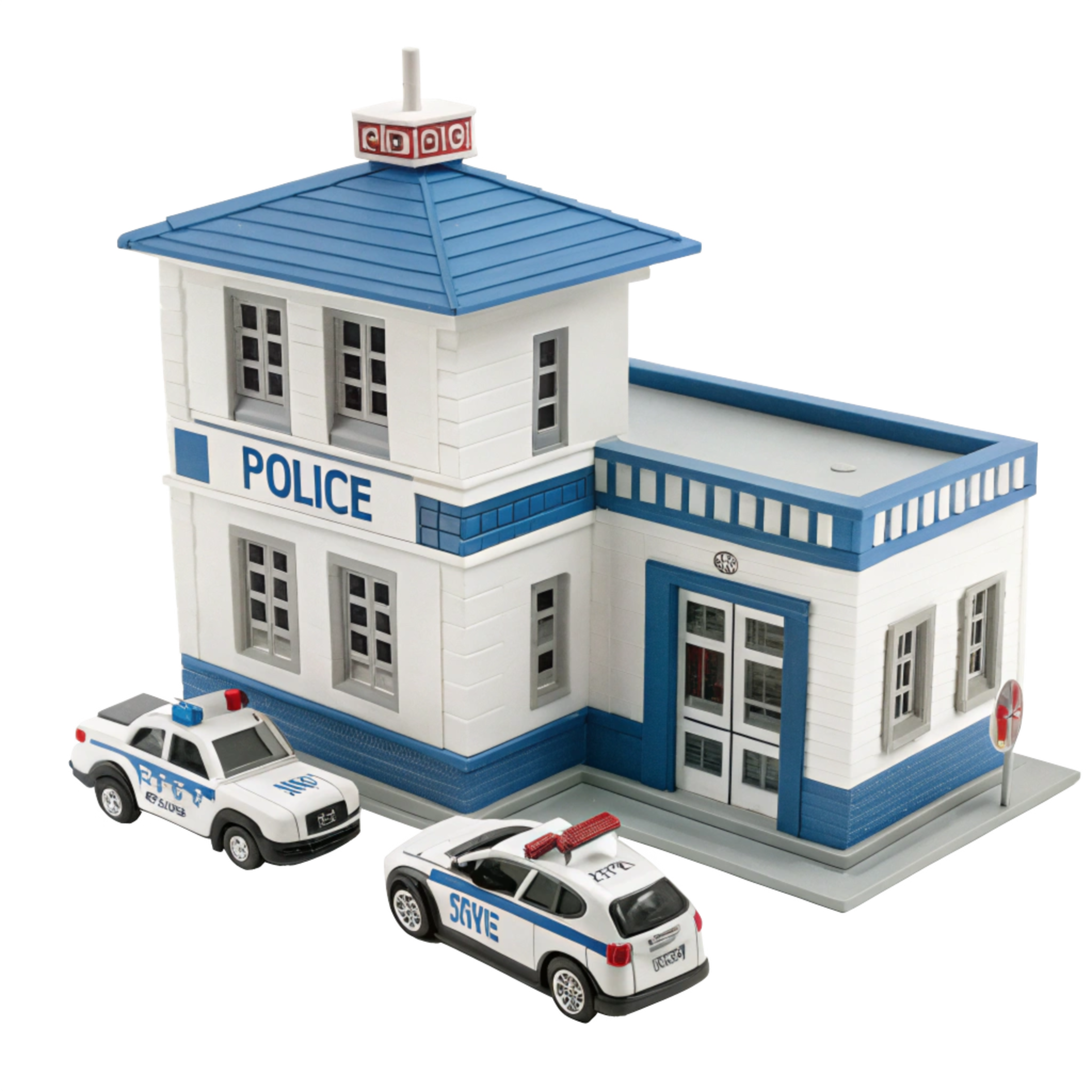
Policing Station

Air Sensors

School Zone
04c / How it works
From signal to decision in four moves.
Ingest
65+ upstream providers and 60 freshness-tracked data sources. Public information — live traffic tiles, satellite thermal and fire detection, weather and river-level feeds, social and citizen reports, ACLED, UCDP, GDELT, UNHCR, OFAC, NASA FIRMS, USGS, WHO, OpenSky, AIS — alongside authorised operational data: IoT sensor fleets, ANPR and camera networks, hospital EMR/CAD, municipal registries and payment gateways. Each source carries a lawful access and residency classification.
Normalise & Fuse
49 orchestration engines. City graph, causality, consequence, dependency, intelligence, temporal, behaviour, city health index, urban risk fabric, supply resilience, cyber-physical defence, equity, city carbon OS, policy intelligence & budget, resource allocator, city autopilot, foresight, city twin time machine, truth engine, city memory, scenario marketplace, universal asset passport, city-to-city, city trust.
Present
Role-specific command surfaces. Every module renders as panels on a shared canvas with the map as the hero. Panels are draggable, collapsible, resizable and persistent. Language, theme and layout all localise.
Act
Signal pre-emption, dispatch, allocation, corridor rerouting, work orders, public advisories, evidence anchoring, after-action review. Every action is written to an immutable audit trail with actor, agency, clearance, resource, outcome and timestamp.
05 / Live command centre
Designed for someone who sits on shift for eight hours.
ONFIX is not a report. It is a living operational environment.
Maps are the hero.
One screen, complete picture.
Severity first.
Time is always visible.
Colour communicates before text does.
Trust the data — confidence levels, freshness indicators and source attribution are first-class UI.
Graceful degradation.
One city pulse.
06 / Simulation
Rehearse the decision before you make it.
Run a policy against the city before you commit to it in the city.
Policy experiments: BRT introduction, road redesign, construction phasing, congestion pricing, fleet expansion, utility stress test, social equity test
Scenario templates: heavy rainfall flood, earthquake swarm, cyber attack, pandemic surge, wildfire spread
Domain twins: City, Drainage, Hospital Supply, HealthOS, Parking, Economic
Scenario marketplace, policy-injection engine, platform simulation engine
07 / Multi-agency command
One city.
Many agencies.
One operating picture.
ONFIX federates command across police, fire, EMS, traffic, utilities, environmental, city management and hospital networks — plus executive oversight, citizen representatives, and NGO and community observers.
Federated agencies
Federation surfaces
07b / Live incident timeline
One timeline. All agencies. Real time.
When a multi-vehicle collision hits the corridor at 21:42, ONFIX runs the 4-move loop simultaneously across fire, EMS, traffic and policing desks.
Multi-camera vision detects a collision between two trucks and a bus on the Southern Corridor. Queue length grows at 3.2 km/min.
Traffic Intelligence copilot forecasts the collision will cause a 47-minute corridor closure. Congestion spreads to two upstream interchanges (internal confidence model).
ONFIX auto-alerts the City EOC. Dispatch is pre-allocated: 2 pump appliances, 1 aerial ladder, 3 ambulances.
Emergency copilot routes ambulances to nearest reporting hospitals and pre-books trauma bays. One patient diverted to a facility with 8 free ICU beds.
Fire appliances dispatched with pre-planned staging at the corridor's north and south gates to prevent being trapped.
Traffic copilot calculates the optimal lane-clearance sequence and signals all connected traffic lights to begin green-wave evacuation routing.
ANPR feeds confirm 12 vehicles are en route from the hospital direction; the queue has already backed up past the city cemetery.
Drone deployment auto-triggered. RAVEN aerial drone launches from the nearest pole — live thermal feed confirms one trapped vehicle is smouldering.
Fire confirms extrication in progress via the unified incident record; EMS updates patient triage colour in real time.
All survivors in hospital. Corridor clear. Automatic after-action replay generated with 13 evidence clips linked to the blockchain-timestamped timeline.
07c / Forecasting & freshness
Predictability by domain (internal benchmarks)
| Domain | Horizon | Resolution | Confidence |
|---|---|---|---|
| Traffic | 10–90 min | 10 min | 92% |
| Demand | 24–72 hr | 4 hr | 78% |
| Health | 24–120 hr | 1 hr | 84% |
| Waste | 2–7 days | 12 hr | 71% |
Data freshness model
Refresh SLAs
| Metric | Target SLA | Stale marker |
|---|---|---|
| Traffic flow | ≤ 60 s | 75 s |
| Hospital capacity | ≤ 120 s | 200 s |
| Power grid status | ≤ 5 s | 10 s |
All data carries a cached_at timestamp and a stale flag. Downstream dashboards dim or flag stale data automatically; downstream actuators will not act on stale data.
Confidence figures are internal benchmark results from platform testing. Model evaluation uses controlled datasets and does not imply live-deployment accuracy without per-city validation.
08 / Governance, security & sovereignty
Operational power demands operational accountability.
Zero trust by default
Clearance levels 1–5. Session policies for MFA, timeout and IP allowlist. Every access decision logged with agency, resource, action, grant or denial reason, IP address and device fingerprint.
Evidence that holds up
Automated linkage of CCTV, body-camera footage, vehicle cameras, drone footage, radio logs, CAD records, maps, photographs, witness statements and sensor events into one searchable timeline. Blockchain-anchored evidence records. Chain of custody from collection to court.
Compliance, named
Data governance
Compliance support
ONFIX implements controls that map to GDPR, the EU AI Act, Kenya's Data Protection Act and comparable frameworks: data minimisation per agency scope, purpose limitation on every feed, configurable pseudonymisation and anonymisation, bias auditing on AI copilots, and on-demand data portability and deletion workflows. Compliance is enforced at the engine layer, not by policy alone.
08b / Availability & resilience
Always on. Always accurate. Always sovereign.
Platform design targets continuous availability with dual-region active-active failover. Edge fallback keeps the command centre operating if the WAN degrades. Automatic failover in under 3 seconds.
Deployment targets
Interoperability
| System | Connector | Direction |
|---|---|---|
| CAD | ONFIX CAD Bridge v3 | 2-way sync |
| RMS | ONFIX RMS Adapter | Read-only |
| ANPR | Native edge protocol | Streaming |
| GIS | GeoJSON / Shapefile | Batch & live |
09 / Developer platform
The city, as an API.
33 ONFIX endpoints for urban operations. 36 service domains. 39 MCP tools. Embeddable live map. Widget builder. Webhooks. Bulk export. Every capability ONFIX has is reachable programmatically.
33 callable API endpoints across 36 service domains — full service coverage, 33 entrypoints
39 MCP tools — Claude, GPT and any MCP client, live
6 MCP prompt workflows
4 MCP resources
JMESPath projection on every tool — 80–95% payload reduction
Embeddable live map — one iframe, 14 layers, 30 parameter aliases
Custom widget builder — HTML, CSS and JS with AI authoring
OAuth 2.1, dynamic client registration, PKCE
Webhooks, rate limits, ETag conditional requests
The 33 ONFIX endpoints
listTrafficFlowCorridor flow state, speed, density, composition
listTrafficAccidentsDetected incidents with severity and location
listTrafficPredictionsShort-horizon congestion forecasts
listUrbanInfrastructureThe urban asset base
listInfrastructureIncidentsFaults, obstructions, degradation
listPublicLightingLighting network state and clusters
listLightingControllersController state and capability
controlLightingWRITEWrite — set dimming, schedule, on/off
listWasteSanitationService state, bins, vehicles, facilities
listEnvironmentalMetricsAir, noise, water and heat metrics
listEnvironmentalSensorsEnvironmental sensor fleet and health
listESGDashboardEnvironmental and social performance
listSmartParkingFacility, occupancy and payment state
listParkingSensorsPer-bay and per-zone sensor state
listEmergencyResourcesDeployable resources, availability, location
listHospitalCapacityBed, ICU and ED state by facility
listHospitalEMRClinical and CAD records (authorised roles)
listDisasterRiskZonesFlood, fire, landslide and structural risk zones
listCameraFeedsCamera registry, health and status
getANPRFeedANPR captures and matches
listFacialRecognitionMatchesWatchlist matches
listFaceDetectionsDetections in scope
listFacialRecognitionPipelinesFR pipeline state
listEnforcementIntelEnforcement case state, warrants, linked assets
listSensorsIoT sensor fleet registry and health
listRavenIntegrationsRAVEN drone state and live feeds
dispatchRavenDroneWRITEWrite — dispatch with mission and geofence
anchorEvidenceWRITEWrite — anchor an evidence record to chain
listEvidenceEvidence records with integrity status
listEvidenceChainsChain-of-custody chains
listEconomicActivityEconomic pulse by sector and ward
listAgencyCommandAgency federation state and authority
listDigitalTwinSimulationsTwin state and simulation runs
Three endpoints are write paths and require human commit: controlLighting, dispatchRavenDrone, anchorEvidence. Authentication via X-ONFIX-Key header. Host: api.onfix.app.
10 / Use cases
One picture. Eight operating roles.
Every module renders as role-specific panels on a shared canvas. What each role sees is scoped by agency, clearance and job function — nobody sees what they have no authority to see.
Executive oversight
City health, risk, budget and equity at a glance. Mode switching across normal, emergency, disaster and black-swan postures.
Corridor operations
Flow, incidents, signal pre-emption and corridor clearance sequencing in one view.
Clinical demand
Capacity, ED and ICU state, supply forecasting, mass-casualty mode and patient diversion routing.
Public safety response
Dispatch, spread prediction, hazmat corridors, staging and after-action review.
Security & order
Threat intel, cameras, enforcement analytics, watchlist HUD and evidence anchoring. RAVEN aerial drones provide rapid incident verification and perimeter monitoring.
Infrastructure resilience
Power grid, water, lighting and waste asset status, maintenance schedules and failure cascades.
Climate & resilience
Air quality, flood risk, drainage twins, school zone protection and climate alerts.
Municipal finance
Payment intelligence, revenue gap, tariff engine, reconciliation and social equity metrics.
11 / Pricing
Start with Platform. Scale to sovereign.
ONFIX Platform is a controlled entry point for evaluation and individual teams with limited datasets. ONFIX Enterprise adds multi-team operations, integrations and implementation support. ONFIX Sovereign delivers on-premise, edge, hybrid or air-gapped deployments with jurisdiction-specific controls.
Platform
Entry point for evaluation and individual teamsCustomEnterprise
Full multi-team operations with implementationCustomSovereign
On-premise, edge, hybrid or air-gapped deploymentsCustom12 / How to engage
Three paths in. One platform.
Whether you are a city operations team, an infrastructure partner, or a developer building on the urban stack, ONFIX has a defined path for you.
For cities & counties
Request a city operations demonstration. Explore a defined pilot with measurable outcomes and a deployment plan.
For partners
Explore data integrations, sensor connectivity, systems interoperability and deployment partnerships.
For developers
Access the API reference, authentication guide, integration examples, and test the platform via MCP.
13 / Trusted by operational teams
Built for the scale of real cities.
Developed by Boldstreet Group, an independent urban intelligence company.
14 / Comparison & FAQ
Most tools give you one slice of the city.
ONFIX gives you the whole thing, and lets you operate it.
| Domain tool (traffic SCADA CAD) | BI dashboard | EOC console | ONFIX | |
|---|---|---|---|---|
| Scope | One domain | Whatever was connected | Rooms and resources | 15 modules, one model |
| Time horizon | Now | Historical | Now | Now → next decade |
| Cross-domain correlation | No | Manual | Limited | Automatic, 49 engines |
| Action | Alert | Report | Dispatch | Orchestrate, pre-empt, simulate |
| Federation | Single agency | Single agency | Multi-room | 8 agencies, one record |
| Digital twin | No | No | Rare | 6 domain twins + city twin |
| AI | Narrow | No | No | 9 copilots, 11 anomaly families |
| Deployment | Vendor cloud | Vendor cloud | On-site | Edge, cloud, on-prem, air-gapped |
| Data residency | Vendor jurisdiction | Vendor jurisdiction | Own | Yours |
What ONFIX does not claim
- ONFIX is not a replacement for your SCADA, CAD, ERP, HR or billing system. It is the layer that makes them agree.
- ONFIX does not replace professional judgement. AI outputs are tools, not oracles.
- ONFIX does not automate enforcement or safety-critical decisions. It recommends, pre-empts and logs. Humans commit.
- ONFIX does not use proprietary or classified government data. It integrates publicly available information with authorised operational data sources, connected infrastructure and approved third-party systems, subject to applicable permissions and deployment requirements.
FAQ highlights
ONFIX Platform is a controlled entry point for evaluation and individual teams with limited datasets and selected capabilities. For full city-wide deployment, contact sales to assess your requirements and configure an Enterprise or Sovereign instance.
Yes — ONFIX Sovereign supports edge, on-premises and air-gapped deployments with jurisdiction-specific data controls. A deployment assessment is required to scope your requirements.
60 freshness-tracked data sources covering live traffic, IoT sensors, ANPR, cameras, hospital EMR/CAD, satellite, weather, payments and citizen reports — sourced from 65+ upstream provider organisations. ONFIX integrates publicly available information with authorised operational data sources, connected infrastructure and approved third-party systems, subject to applicable permissions and deployment requirements.
api.onfix.app, authenticated with the X-ONFIX-Key header. 33 callable API endpoints across 36 service domains, OpenAPI 3 per service.
15 / Partner with Boldstreet
Your city already generates the signals.
ONFIX turns them into intelligence.
See ONFIX in operationFrom traffic and emergency response to energy, EV charging, critical infrastructure, security, utilities and urban resilience, ONFIX gives decision-makers one operational picture of the city and the intelligence to act on it.